

Looking for adventure on two wheels? California offers some of the best bike routes for weekend riders. You can cruise along coastal paths, climb mountain trails, or roll through sunny vineyards. Each route has something special—think ocean views, smooth car-free lanes, or stops at famous landmarks. Before you pick your ride, ask yourself what you want most: easy miles, big hills, or awesome scenery? Find the route that fits you best and get ready to explore!
Key Takeaways
California has bike routes for everyone. Some are flat and easy. Some have hard mountain climbs. Check the distance, hills, and how hard the ride is. Pick a route that fits your fitness and skill. Bring important gear like a helmet and lights. Also, bring water and repair tools. This helps you stay safe and comfortable. Pick routes that match what you like. You can see the ocean, city, or quiet nature. Spring and fall are the best times to ride. The weather is nice and there are fewer people. This makes your ride better.

Best Bike Routes
Mount Tamalpais Loop, Marin County
You’ll find the Mount Tamalpais Loop in Fairfax, Marin County. This ride is a favorite for experienced cyclists who want a challenge and amazing views. Here’s a quick look at what you can expect:
|
Attribute |
Details |
|
Location |
Fairfax, Marin County |
|
Total Distance |
31.5 miles |
|
Estimated Ride Time |
About 4 hours (on a road bike) |
|
Aerobic Difficulty |
8 (challenging) |
|
Technical Difficulty |
3 (manageable) |
You’ll climb steep hills, coast down winding descents, and pass through quiet suburbs. The scenery changes from redwood forests to open ridges with sweeping views of the Bay Area. This loop is best for advanced riders who want a workout and a taste of Marin’s wild side.
Tip: Bring plenty of water and snacks. The climbs can be tough, but the views from the top are worth every pedal stroke.
Hawk Hill & Golden Gate Bridge Loop, Marin County
If you want a classic Bay Area ride, try the Hawk Hill & Golden Gate Bridge Loop. You’ll start near Fisherman’s Wharf in San Francisco, cross the famous bridge, and climb into the Marin Headlands. Here’s what makes this loop special:
-
About 20 miles long with 2,000 feet of climbing.
-
Steep 4-mile, 700-foot climb on Conzelman Road right after the bridge.
-
Iconic views of the Golden Gate Bridge, Alcatraz, and the Pacific Ocean.
-
Rest stop at Hawk Hill with historic military sites and facilities.
-
Thrilling descent with views of the coastline and old forts.
-
Choose your return: a tough climb, a flat ride, or a ferry from Sausalito.
-
Weather can change fast—expect wind and fog.
This route is best for intermediate to advanced riders who want a mix of city sights, history, and natural beauty.
Lake Tahoe Loop
The Lake Tahoe Loop offers a mix of mountain scenery, lakeside views, and fun stops along the way. You’ll ride through forests, past waterfalls, and even stop for fresh pie or a winery visit. Here’s a table with some highlights:
|
Scenic Feature / Rest Stop |
Description |
Location / Notes |
|
Donner Pass Road |
Mountain and lake views, great for photos. |
Truckee, North Shore |
|
Horsetail Falls |
Short hike to a waterfall with granite peaks. |
Twin Bridges, off Highway 50 |
|
Lake Natoma |
Perfect for a quick dip or stretch. |
Folsom, off Highway 50 |
|
Ikeda's California Country Market |
Famous for pies and burgers. |
Auburn and Davis |
|
Boeger Winery |
Award-winning wines and tastings. |
Placerville, Sierra Foothills |
|
Boa Vista Orchards |
Fresh fruit, cider, and a pumpkin patch in fall. |
Placerville, Apple Hill Orchards |
|
Jelly Belly Candy Company |
Factory tours and a huge candy selection. |
Fairfield |
You’ll love this loop if you enjoy long rides, mountain air, and plenty of places to stop and explore. It’s best for intermediate and advanced riders.
Napa Valley Vine Trail
The Napa Valley Vine Trail is perfect if you want a relaxed ride through wine country. The trail is mostly flat and car-free, making it great for beginners and families. You’ll pedal past vineyards, tasting rooms, and charming small towns. Stop for a picnic or sample local wines along the way. The scenery is beautiful year-round, with golden hills and rows of grapevines stretching into the distance.
Monterey Recreation Trail
This trail gives you a smooth, scenic ride along the coast. You’ll start in Castroville and end in Pacific Grove, covering about 18 to 19 miles. The path is mostly flat, with just one steep climb over sand dunes near Monterey and Seaside. Here’s a quick look:
|
Aspect |
Details |
|
Route Length |
18–19 miles (Castroville to Pacific Grove) |
|
Difficulty |
Easy; mostly flat, one steep dune climb |
|
Main Points of Interest |
Castroville (artichokes), Marina and Fort Ord Dunes, Monterey State Beach, Fisherman’s Wharf, San Carlos Beach, Monterey Bay Aquarium, Cannery Row, Lover’s Point Park |
|
Accessibility |
Wheelchair accessible |
|
Activities |
Biking, walking, skating, and fishing |
|
Trail Surface |
Asphalt and concrete |
|
Trail History |
Follows the old Southern Pacific Railroad corridor |
You’ll see sand dunes, ocean views, and maybe even sea otters. The best times to ride are spring and fall, when wildflowers bloom and monarch butterflies visit Pacific Grove. This trail is great for all skill levels.
Santa Monica Beach Path
You can cruise the Santa Monica Beach Path for a classic Southern California experience. The path runs along the beach, with ocean views and a cool breeze. You’ll pass the Santa Monica Pier, Muscle Beach, and Venice Beach’s colorful boardwalk. The ride is flat and easy, perfect for beginners or anyone who wants a laid-back day by the water. Stop for ice cream or watch street performers along the way.
American River Bike Trail
The American River Bike Trail, also called the Jedediah Smith Memorial Trail, stretches for 32 miles between Sacramento and Folsom. The path is paved and mostly flat, winding through parks, forests, and along the river. You’ll spot wildlife, see wildflowers in spring, and find plenty of picnic spots. This trail is great for all riders, from beginners to experts. You can ride a short section or tackle the whole thing for a longer adventure.
Sonoma King Ridge Loop
If you want one of the best bike routes for experienced riders, try the Sonoma King Ridge Loop. This ride is famous for its tough climbs, fast descents, and wild scenery. Here’s what makes it stand out:
-
Steep climbs up to 16% grade and long rollers along the ridge.
-
Fast, steep descent on Meyer’s Grade for thrill-seekers.
-
Remote roads with little traffic—perfect for solitude.
-
Grand ridge-top views and rugged countryside.
-
Rough road surfaces add to the challenge.
-
Part of the famous King’s Ridge Gran Fondo.
-
Limited water stops, so plan ahead.
You’ll need strong legs and good preparation, but the views and sense of adventure make it a favorite among expert cyclists.
Carlsbad/Solana Beach Loop
This coastal loop in North San Diego County gives you ocean breezes, sandy beaches, and charming towns. The route is mostly flat with a few gentle hills, making it good for beginners and intermediate riders. You’ll pass through Carlsbad, Encinitas, and Solana Beach, with plenty of places to stop for coffee or a snack. Watch surfers catch waves or explore local shops along the way.
Pescadero Creek Road Loop
You’ll find the Pescadero Creek Road Loop in the Peninsula’s redwood country. This moderate ride takes you through Pescadero Creek Park and Portola Redwoods State Park. Here’s what makes it special:
-
About 6 miles with a 700-foot elevation change: This challenging segment offers a significant climb within the larger redwood forest area.
-
Passes through some of the healthiest redwood forests in the area.
-
See old logging equipment, fairy rings, and a massive redwood tree over 40 feet around.
-
Wildlife sightings might include deer, raccoons, and even mountain lions.
-
Trails include Upper Coyote Ridge, Pomponio, and Shingle Mill, with creek crossings and gentle climbs.
This loop is great for intermediate riders who love nature and want a peaceful ride through the woods.
Santa Ana River Trail
The Santa Ana River Trail is one of the longest and most accessible bike routes in Southern California. You can ride for nearly 58 miles, from the San Bernardino Mountains to the Pacific Ocean. Here’s a quick overview:
|
Attribute |
Details |
|
Length |
About 57.7 miles (20+ miles in San Bernardino/Riverside, 30 miles in Orange County) |
|
Surface |
Paved (asphalt and concrete) |
|
Accessibility |
Wheelchair accessible, underpasses at major roads, ramps for easy exits, lots of parking |
The trail is mostly flat and car-free, making it perfect for beginners, families, and anyone who wants a long, safe ride.
Aliso Creek Trail
You’ll love the Aliso Creek Trail if you want a multi-use path with lots of amenities. The trail stretches for 15 miles and is great for biking, walking, running, and even horseback riding. Along the way, you’ll find:
-
Restrooms and water stations
-
Picnic tables and pet areas
-
Handicap access and phone stations
-
Food vending and litter containers
-
Large equestrian/picnic area with trailer parking and horse corrals
The trail is well-maintained and offers plenty of places to rest. It’s a good choice for beginners and families who want a safe, comfortable ride.
San Francisco Urban Loops
San Francisco has some of the best bike routes for city riders. You can choose from easy waterfront paths to tough climbs with amazing views. Here’s a table with some popular loops:
|
Bike Loop Name |
Distance |
Difficulty |
Description Summary |
|
Embarcadero Promenade |
Varies |
Easy |
Waterfront route with Bay views, perfect for photos and casual rides. |
|
Presidio Loop |
4.3 miles |
Easy |
Scenic park loop with Golden Gate Bridge views. |
|
Sea Beach via Great Highway Path |
6.4 miles |
Moderate |
Coastal ride along Ocean Beach, great for fitness and fresh air. |
|
Angel Island Bike Path |
6.2 miles |
Easy |
Island loop with skyline and bay views, accessible by ferry. |
|
San Francisco Bay Trail |
Varies |
Varies |
Flat, easy riding with cityscape and bay views. |
|
Downtown to Headlands Route |
22 miles |
Challenging |
Long ride with steep climbs, crossing the Golden Gate Bridge to Marin Headlands. |
You can also try these more challenging loops:
|
Bike Loop Name |
Distance |
Elevation Gain |
Difficulty |
Description Summary |
|
Twin Peaks Challenge |
~5 miles |
~800 feet |
Moderate to Hard |
Steep climb with city views. |
|
Mount Sutro and Twin Peaks Combo |
~10 miles |
~1,500 feet |
Hard |
Includes both paved roads and some dirt paths/stairs for a tough, varied terrain experience. |
|
Great Highway and Lake Merced Loop |
~15 miles |
~500 feet |
Moderate |
On a flatter coastal ride, the wind can add a challenge. |
|
Marin Headlands Loop |
~20 miles |
~2,500 feet |
Hard |
Steep climbs, scenic coastal, and historic sites. |
You’ll find a route for every skill level, from easy city rides to tough hill climbs.

Mount Hamilton Cycle Loop
The Mount Hamilton Cycle Loop is a legendary climb in the Bay Area. You’ll ride up Mt. Hamilton Road (Route 130) for 18 miles, with 15 miles of steady uphill. The average grade is gentle, never more than 6.5%, but the climb is long. If you want a steeper challenge, try Quimby Road, which has grades up to 13%. You’ll gain about 4,700 feet in elevation. The road has smooth and rough sections, with light to moderate traffic. At the top, you can visit the observatory, use restrooms, and grab a snack from vending machines. This ride is best for advanced cyclists who love big climbs and mountain views.
Davis Bike Paths
Davis is famous for its safe, easy-to-navigate bike paths. You’ll ride on separated, off-street trails that follow rivers and greenbelts, far from busy roads. The area is flat, and the climate is mild, so you can ride year-round. Crossings go under or over highways and railroads, making it extra safe. These paths are perfect for beginners, families, and anyone who wants a relaxed ride. Remember to use lights at night and wear bright colors for safety. The Davis Bike Map helps you plan your route and learn local bike laws.
You’ll find that California’s best bike routes offer something for everyone. Whether you want a tough mountain climb, a peaceful ride through vineyards, or a breezy trip along the beach, you can find the perfect route for your weekend adventure.
Planning Your Ride
Distance & Elevation
Before you hop on your bike, check the distance and elevation of your chosen route. Some rides, like the Mount Tamalpais Loop, have steep climbs and long descents. Others, such as the Napa Valley Vine Trail, stay flat and easy. If you’re new to biking, start with shorter, flatter routes. If you love a challenge, look for rides with more hills. Here’s a quick guide:
|
Factor |
What to Watch For |
|
Distance |
Short rides (under 15 miles) are great for beginners. Longer routes (20+ miles) suit experienced riders. |
|
Elevation |
Flat trails are easier. Steep climbs need more effort and skill. |
Tip: Always check the route’s elevation profile before you go. Apps like Gaia GPS or Ride with GPS can help you see where the big hills are.
Difficulty Levels
Every route has its own level of difficulty. Think about your fitness and biking experience. Some trails, like the American River Bike Trail, are perfect for all levels. Others, such as the Sonoma King Ridge Loop, are best for experts. If you’re unsure, start easy and work your way up.
Scenery & Attractions
California’s bike routes offer amazing views. You might ride past redwoods, along the ocean, or through vineyards. Some routes have famous stops, like the Golden Gate Bridge or the Monterey Bay Aquarium. Pick a route that matches what you want to see. Bring your camera for those wow moments!
Amenities & Rest Stops
Not every trail has water, bathrooms, or food nearby. Some stretches, like south of Big Sur, have very few services. Plan ahead and pack snacks, water, and a map. Many state parks have picnic spots and restrooms, but always double-check before you go.
Best Times to Ride
Spring and autumn are the best seasons for biking in California. You’ll avoid summer crowds and strong winds. Fog is common along the coast, especially in the morning. Try to start early to beat traffic and the heat. If you see fog, wait until it clears for a safer ride.
Note: Always ride defensively, especially in busy areas or on narrow roads. Stay safe and enjoy the journey!

Gear & Preparation
Essential Gear
You want your ride to go smoothly, so pack the right gear before you head out. Here’s a quick checklist to help you get started:
-
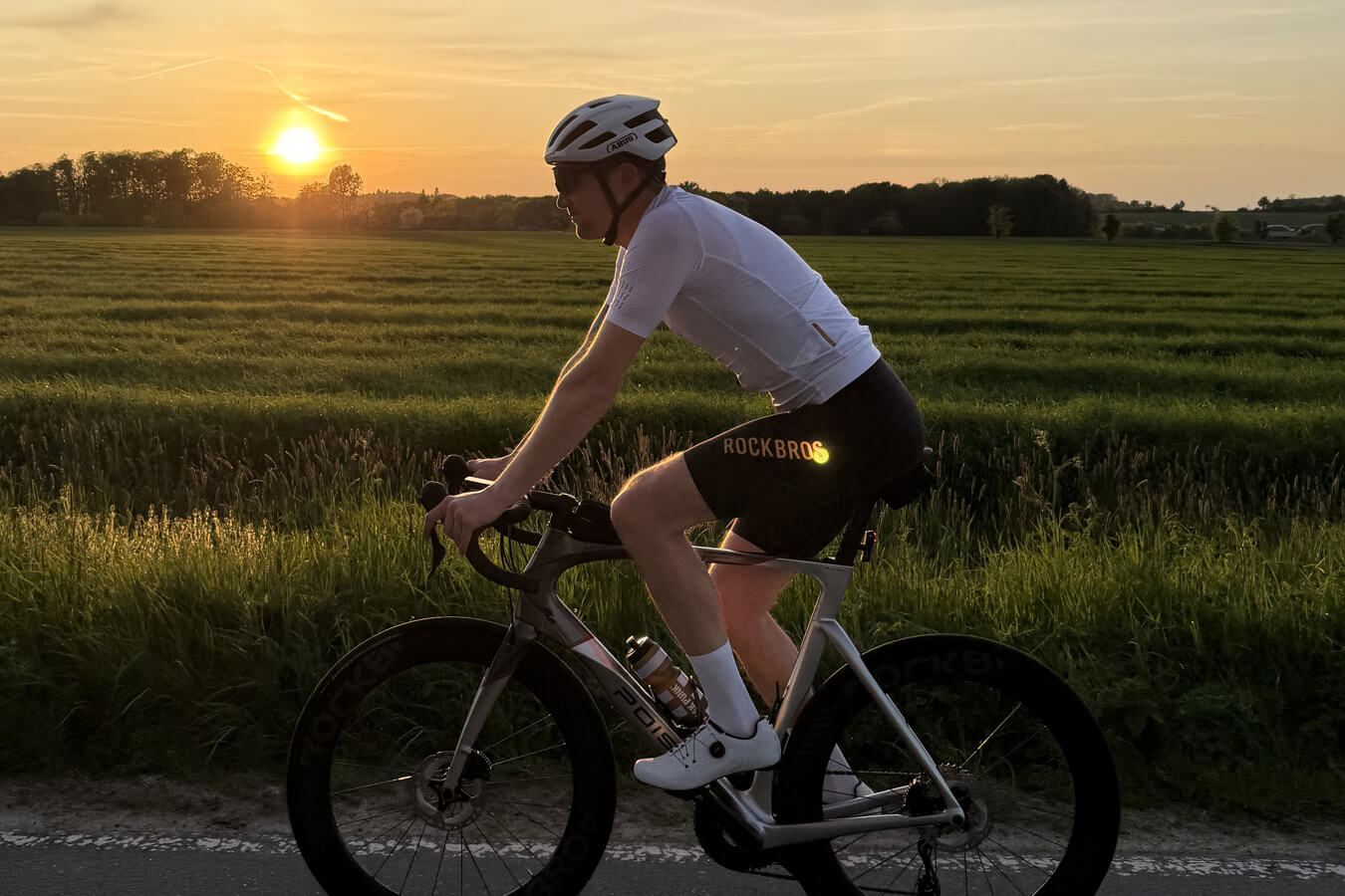
Helmet: Always wear one. It protects your head if you fall.
-
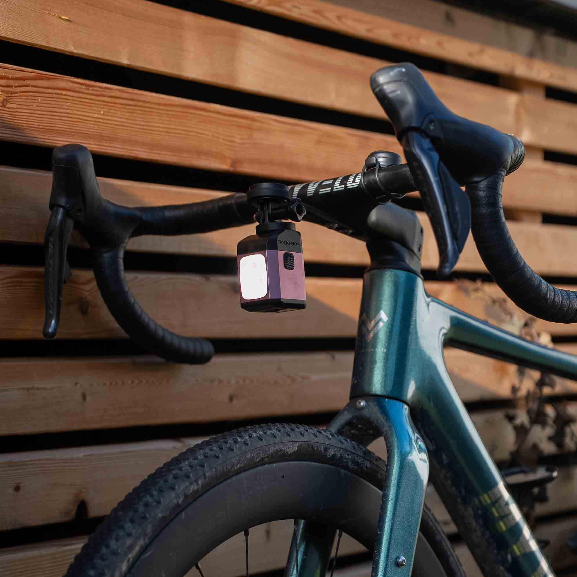
Bike lights: California law says you need a white front light and a red rear light or reflector at night. These help cars see you.
-
Reflective gear: Bright vests or patches make you stand out, even during the day.
-
Water bottle: Stay hydrated, especially on hot days.
-
Repair kit: Bring a spare tube, tire levers, and a mini pump. You never know when you’ll get a flat.
-
Lock: If you plan to stop, keep your bike safe.
-
Gloves and sunglasses: These protect your hands and eyes from the sun, wind, and bugs.
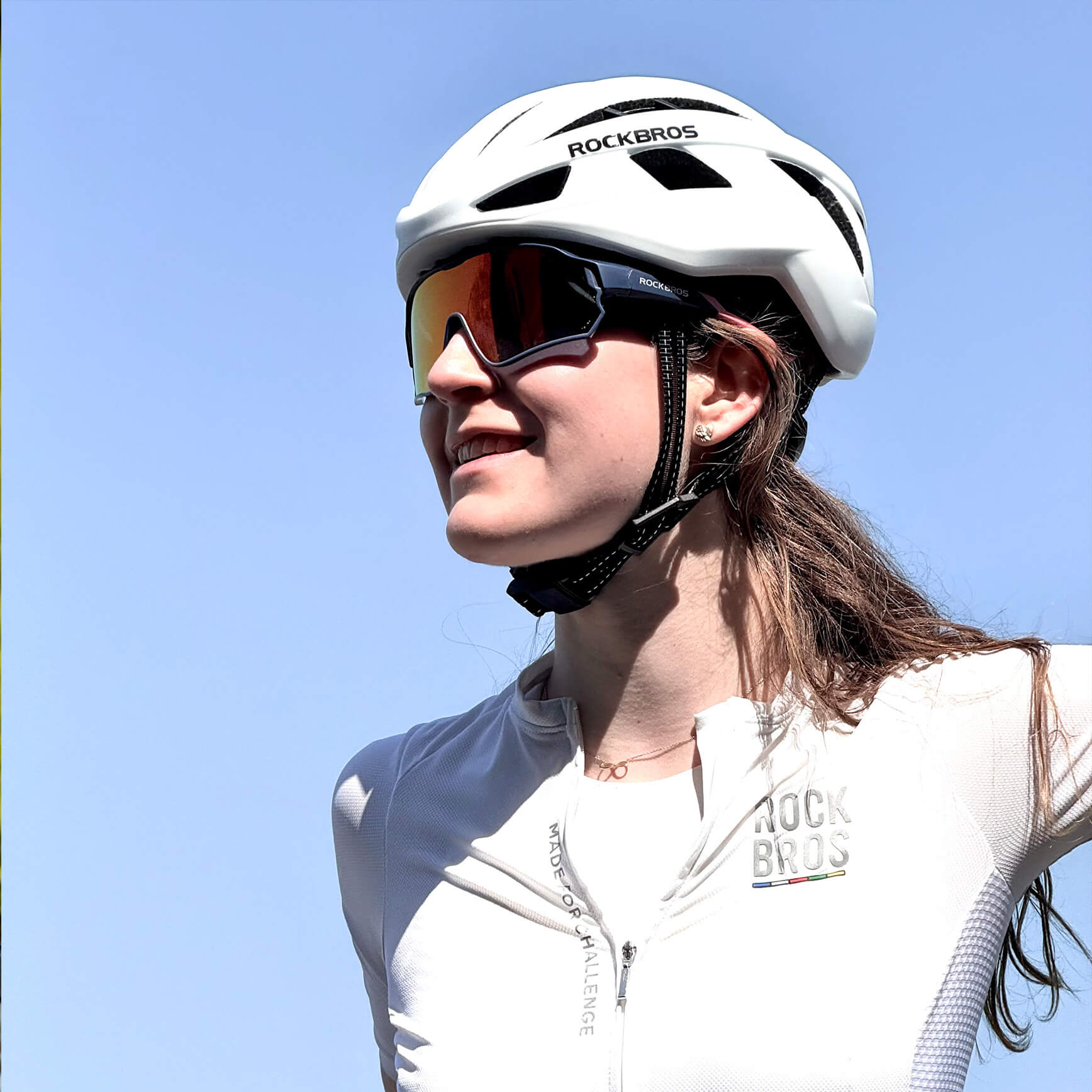
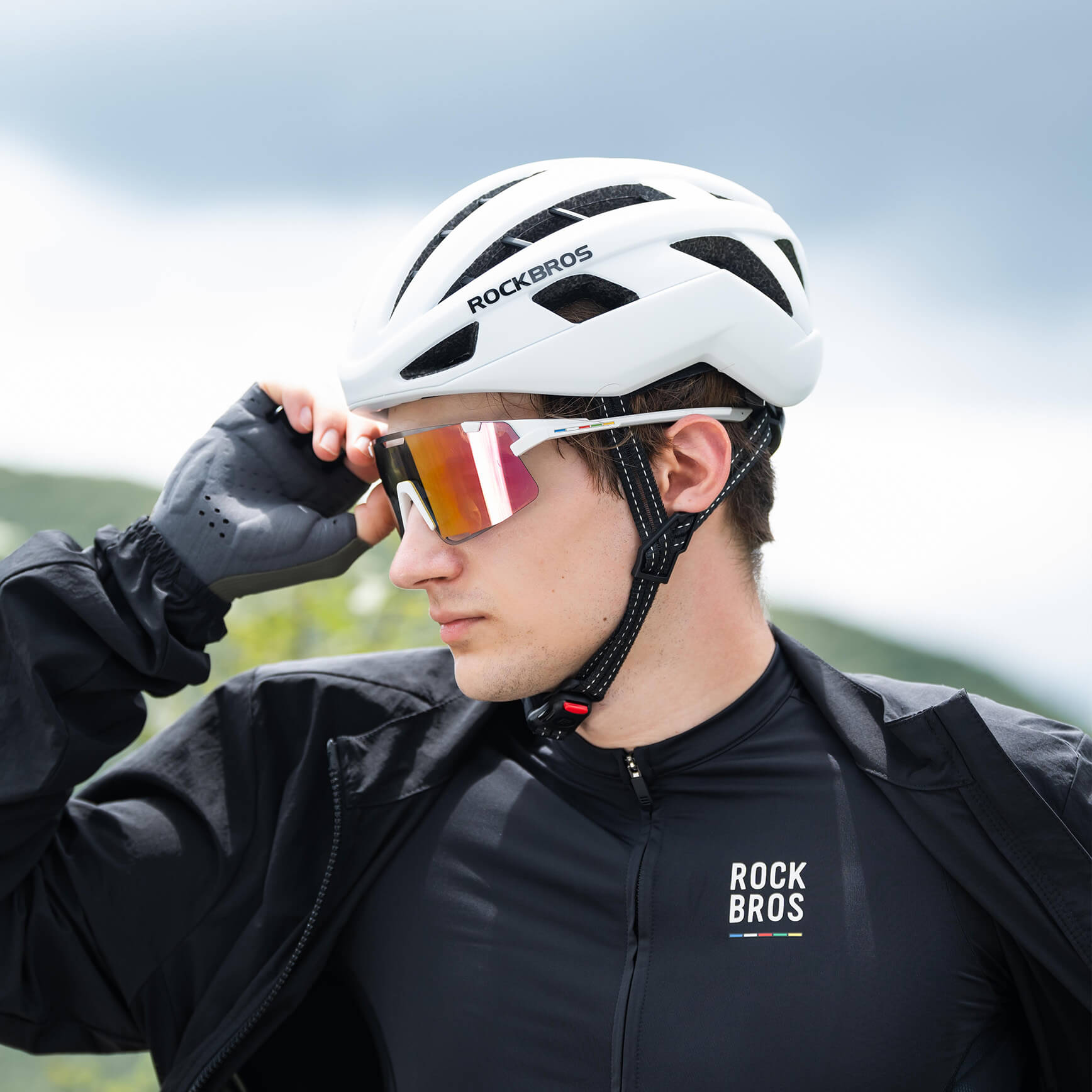
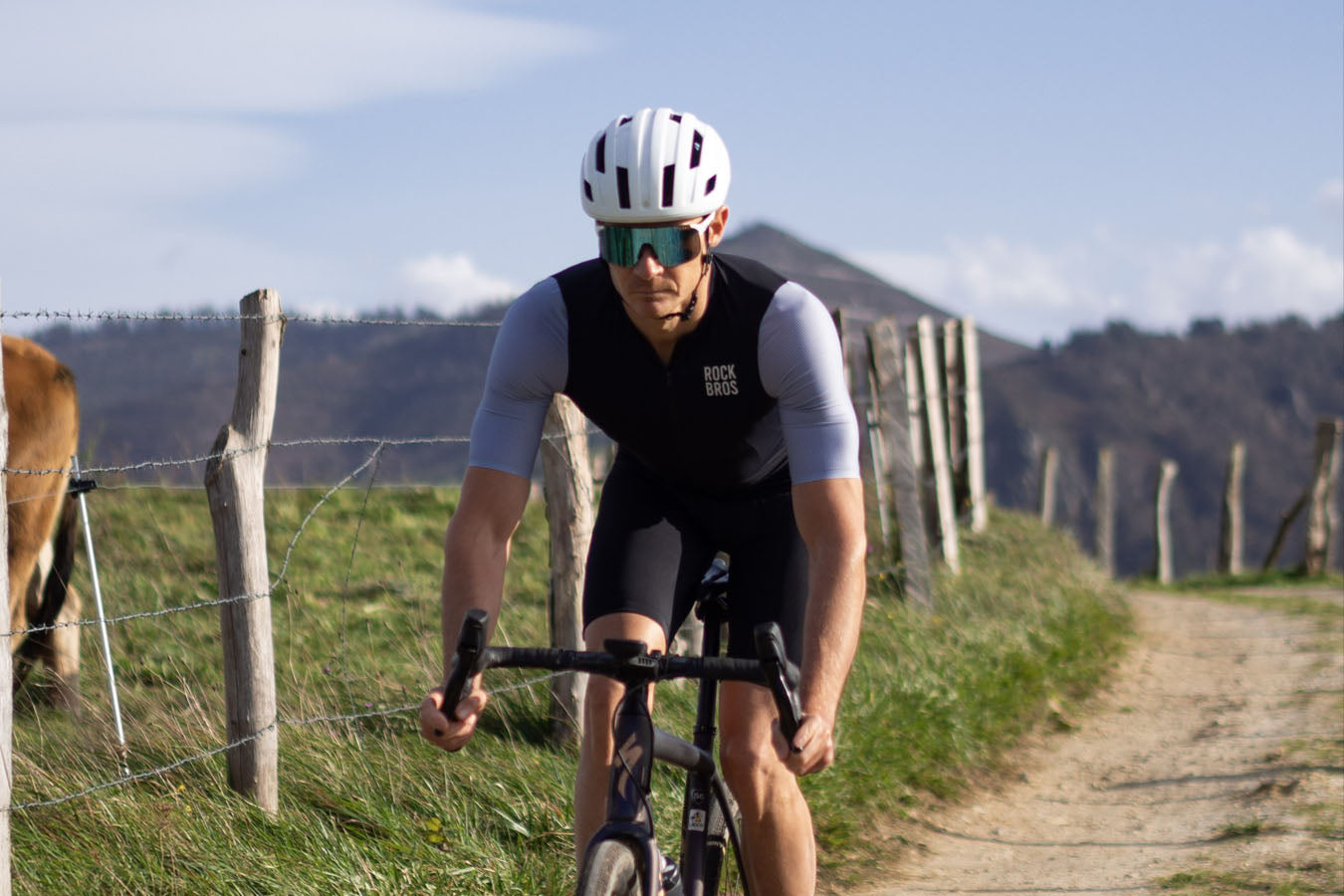
Tip: Before you hit the road, always double-check your gear. A quick pre-ride inspection can save you from a world of trouble later. And if you're looking to upgrade or simply get ready for your next adventure, why not explore brands like ROCKBROS? They offer an incredible range of high-performance, cost-effective cycling gear, ensuring you're fully prepared and riding in style!
Safety Tips
Staying safe on California bike routes means paying attention and following the rules. Here are some key tips:
-
Wear a helmet and high-visibility clothing every time you ride.
-
Use bike lights and reflectors, even in daylight. Poor lighting is a big reason for bike accidents.
-
Ride in the same direction as traffic. Stick to bike lanes or the right side of the road.
-
Watch out for car doors opening. Give parked cars plenty of space.
-
Obey all traffic laws. Signal your turns and stop at red lights.
-
Stay alert at intersections. Many crashes happen when drivers don’t see cyclists.
-
Know your rights and responsibilities under California law.
Safety first! Most accidents happen because drivers don’t see cyclists. Make yourself visible and ride defensively.
Packing & Nutrition
You’ll enjoy your ride more if you pack smart and eat well. Here’s what to bring:
|
Item |
Why You Need It |
|
Water & snacks |
Keeps your energy up and prevents cramps |
|
Small first aid kit |
Handles minor cuts or scrapes |
|
Map or phone with GPS |
Helps you stay on track |
|
Sunscreen |
Protects your skin from sunburn |
|
Extra layers |
The weather can change fast |
Eat a good meal before you ride. Bring snacks like granola bars, fruit, or trail mix for quick energy. Drink water often, even if you don’t feel thirsty. If you plan a long ride, stop for a picnic or a treat at a local café. Enjoy the journey and take care of yourself along the way!
Choosing the Right Route
Match to Skill Level
Picking the right bike route starts with knowing your skill level. You want a ride that feels fun, not overwhelming. If you are new to biking, start with shorter or flatter trails. These help you build confidence and avoid injury. As you get stronger, you can try longer rides or routes with more hills. Here are some things to think about:
-
Begin with easy routes and work up to harder ones.
-
Check the terrain. Flat paths are easier. Hilly or mountain routes need more strength.
-
Think about your training. If you have not done big climbs before, save those for later.
-
Bring a friend or join a group ride. Riding with others can make you feel safer and more motivated.
Interests & Scenery
You can make your ride even better by choosing a route that matches your interests. California has so many options. Do you love ocean views? Try a coastal path. Want to see vineyards or taste wine? Pick a trail in wine country. Some people enjoy city sights, while others want quiet forests or mountain air. Ask yourself what you want to see and do on your ride. The Best Bike Routes in California offer something for everyone, from peaceful nature to lively city scenes.
Tip: Bring your camera or phone. You might find a view you want to remember!
Logistics & Comfort
A great ride is not just about the path. You also need to think about comfort and planning. Make sure you have the right gear for the weather and the length of your ride. Pack snacks and water, especially for longer trips. Check if the route has rest stops or bathrooms. Some trails have lots of services, while others feel remote. Plan ahead so you can relax and enjoy the ride.
|
Planning Checklist |
Why It Matters |
|
Water and snacks |
Keeps you fueled and hydrated |
|
Proper equipment |
Prevents problems on the road |
|
Route map or GPS |
Helps you stay on track |
|
Rest stops |
Gives you a break when needed |
You will have more fun and feel safer when you plan for comfort and safety.
California gives you so many ways to explore on two wheels. You can pick from the Best Bike Routes for ocean views, mountain climbs, or peaceful parks. Want a great ride? Check the weather, pack your essentials, and plan your stops. Try a new trail this weekend! Got a favorite route or story? Share it in the comments—your tips help other riders, too.


Leave a comment
This site is protected by hCaptcha and the hCaptcha Privacy Policy and Terms of Service apply.